
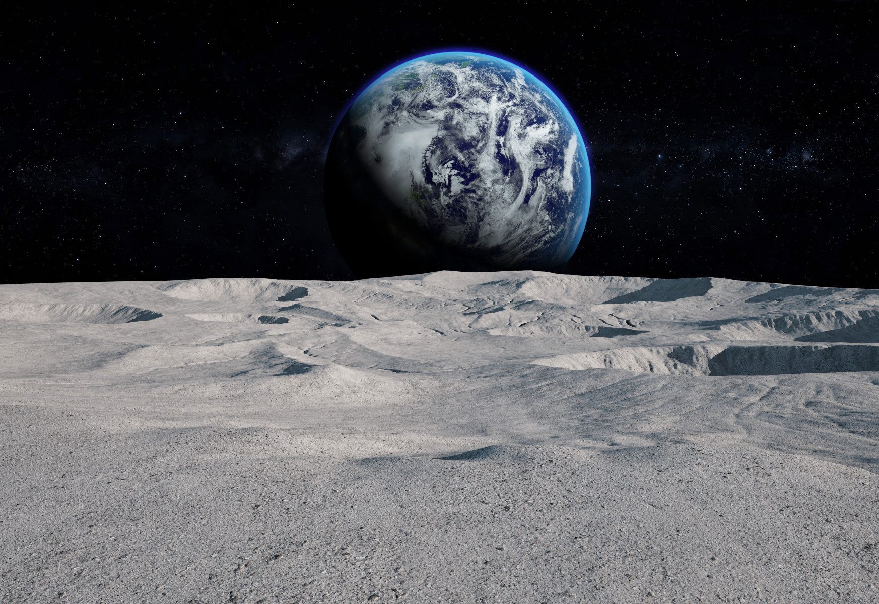
Preparing for space missions requires years of scientific preparation, data analysis, and meticulous planning, especially as agencies aim to establish permanent human outposts on the moon. To make this complex process more efficient, researchers at The Ohio State University have developed a new artificial intelligence framework designed to evaluate potential lunar landing sites, spot environmental hazards, and locate scientifically valuable geological features.
Introducing LUMINA
The new AI model, named "LUMINA," was created by Gokce Inal, a PhD candidate in civil, environmental and geodetic engineering at Ohio State. Preliminary results show that the model excels at making complex lunar observations and generating scientifically meaningful commentary for candidate landing sites.
These capabilities can help mission planners pinpoint regions rich in water ice and other vital resources. LUMINA builds upon a previous lunar vision-language foundation model known as LLaVA-LE, which was capable of describing lunar terrain and answering basic scientific questions. While that earlier version acted primarily as a passive tool, LUMINA extends the research by introducing a framework capable of planning and executing multistep analyses while explaining the evidence behind its recommendations.
Active Collaboration for Mission Planners
Rather than functioning as a fully autonomous machine, Inal envisions LUMINA as an active decision-support system intended to work alongside human experts.
- Active Assistant: Instead of simply answering isolated prompts, the AI works through complex problems alongside mission planners.
- Verification: The system acts as an extra set of eyes in a harsh environment, helping verify observations and improve team communication.
- Final Judgment: Human specialists retain the responsibility for making the ultimate mission decisions.
Inal presented these findings at the 58th Annual Meeting of the Division for Planetary Sciences (DPS 58) of the American Astronomical Society.
Expanding Beyond the Moon
While the framework was designed to support lunar exploration objectives, its underlying architecture has broader potential. Alper Yilmaz, a co-author of the research and a professor in civil, environmental and geodetic engineering at Ohio State, noted that there are very few map models of this caliber being developed for space exploration.
The researchers aim to make the system generalizable to other planetary bodies, including Mars and various asteroids. As incoming datasets become increasingly advanced, tools like LUMINA will be essential for helping mission planners sift through mountains of data to find ideal landing zones rather than searching blindly. Moving forward, the research team plans to test the framework using high-quality lunar data, with ongoing support from NASA’s Artemis program.
